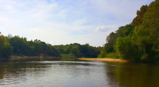
Depth of Cover Analysis in Pearl River, Mississippi
DoC Mapping performed a depth of cover analysis for 2 lines crossing the Pearl River in Mississippi. DoC Mapping utilized a flexible Shallow Water Sensor Suite for this project.

DoC Mapping performed a depth of cover analysis for 2 lines crossing the Pearl River in Mississippi. DoC Mapping utilized a flexible Shallow Water Sensor Suite for this project.

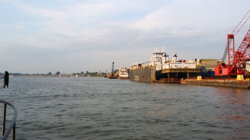
DoC Mapping performed two depth of cover analyses — one crossing the Mississippi River near St. Louis and another crossing the Missouri River near St. Joseph.

DoC Mapping performed a series of topographic and bathymetric studies on various rivers and creeks throughout Pennsylvania contributing to route preparation for a new pipeline.

DoC Mapping performed a series of topographic and bathymetric studies on various small rivers throughout Georgia contributing to route preparation for a new pipeline.

DoC Mapping performed a depth of cover analysis last month on a large section of the Lower Fox River in Green Bay, WI. Seventeen (17 ) utilities crossing under the…

DoC Mapping completed a depth of cover analysis on 2 electrical conduits from levee to waterline on each bank of the Elizabeth River in New Jersey. DoC Mapping utilized their…

DoC Mapping performed a depth of cover analysis on multiple pipelines where they cross 3 different rivers in North Carolina. Due to shallower rivers with many obstructions, DoC Mapping utilized…
“Over the weekend, investigative work on the Poplar Pipeline crossing under the Yellowstone River in northeast Montana, where a leak occurred a week earlier, uncovered exposure of the 60-year-old pipeline…
“Federal officials have issued a $1 million penalty against Exxon Mobil Corp. for safety violations stemming from a pipeline rupture in 2011 that spilled 63,000 gallons of crude into Montana’s…

DoC Mapping performed a depth of cover analysis for a section of the Trenton Channel near Detroit. Numerous lines were reported on in an area where physical shore access to…

