Bathymetric Surveys bring Clarity to your Marine Project
DoC Mapping uses new technologies and years of industry knowledge to effectively implement depth-of-cover surveys for locations where pipelines or other utilities cross waterways. We use survey grade locating, sonar and GPS systems with real time correction, and our surveys typically include the following:
- Survey Grade Single-Beam
- Survey Grade Multi-Beam
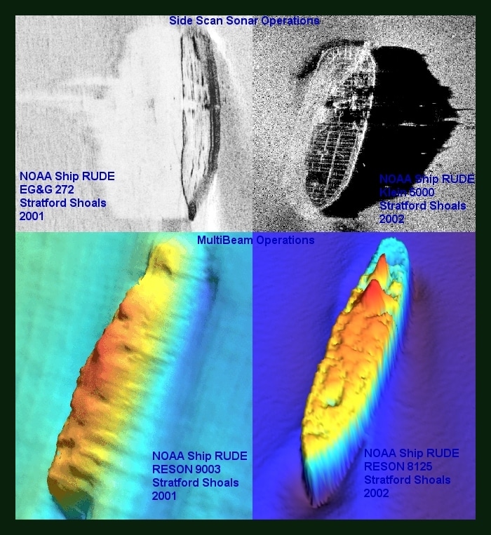
- Side Scan Sonar
- Sonar 3D Modeling and Profiling