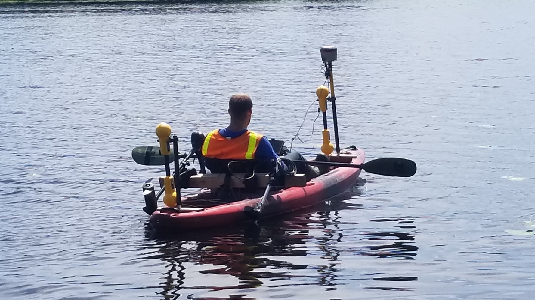
Depth-of-Cover Surveys Protect Your Pipelines
DoC Mapping uses new technologies and years of industry knowledge to effectively implement depth-of-cover surveys for locations where pipelines or other utilities cross waterways. We use survey grade locating, sonar and GPS systems with real time correction, and our surveys typically include the following:
Precision electronic locating / modeling of the pipeline or utility at predetermined intervals across the waterway, resulting in:
- Depth of Cover
- Precise XYZ coordinates for the top-of-pipe location
- Single or multi-beam bathymetric survey resulting in a georeferenced model of the riverbed or bottom
- Side scan sonar used to determine if debris is present or to measure pipeline exposure
- Waterline
- High water mark
- Banks and levees