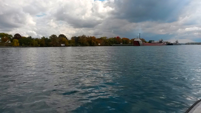
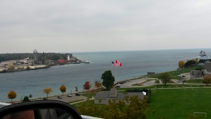
On the Michigan / Canadian border, DoC Mapping completed a full-range topographic, bathymetric and depth of cover analysis on lines that cross the St. Clair River near Marysville, MI.

Two lines and one line bundle were reported on in an area where swift currents and busy shipping channels are present.

