DoC Mapping performed a depth of cover analysis for 2 lines crossing the Pearl River in Mississippi. DoC Mapping utilized a flexible Shallow Water Sensor Suite for this project.
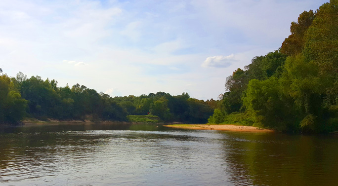

DoC Mapping performed a depth of cover analysis for 2 lines crossing the Pearl River in Mississippi. DoC Mapping utilized a flexible Shallow Water Sensor Suite for this project.