U.S. Midwest Depth of Cover Analyses
July 15, 2016
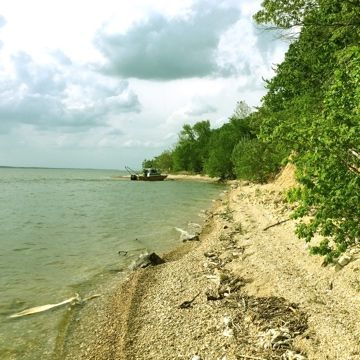
A series of depth of cover analyses were performed for 11 different large river/lake crossing sites across the midwest United States during the months of April through July. Each river…
Depth of Cover Analysis on Lake Norman, North Carolina
June 15, 2016
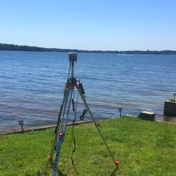
A depth of cover analysis was performed on two lines that have multiple water crossings between residential penninsulas located on Lake Norman. Total crossing distance was 7 miles!
Pre-Dredging Depth of Cover Analyses in ICW, Florida
March 29, 2016
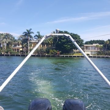
Depth of cover analyses were performed for 13 lines that cross the Intracoastal Waterway near Ft. Lauderdale, Florida. DoC Mapping utilized multiple sensor packages for this project including electromagnetic locating…
Pre-Dredging Depth of Cover Analyses, Michigan
November 21, 2015
DoC Mapping performed depth of cover analyses for 12 line crossings near Detroit, Michigan. DoC Mapping utilized multiple sensor packages for this project including electromagnetic locating sensors, a multibeam sonar,…
Depth of Cover Analysis in Pearl River, Mississippi
September 18, 2015
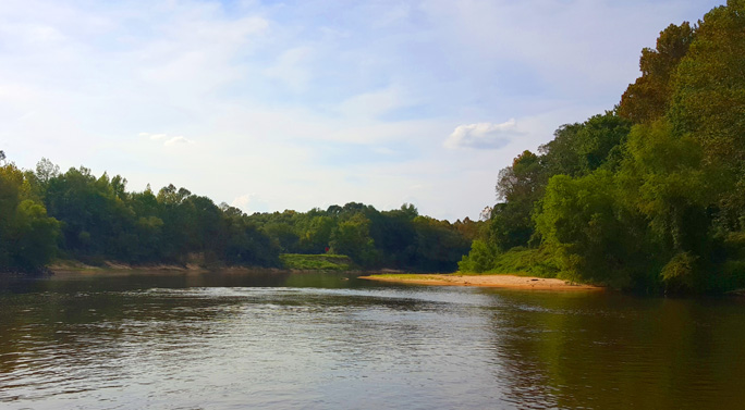
DoC Mapping performed a depth of cover analysis for 2 lines crossing the Pearl River in Mississippi. DoC Mapping utilized a flexible Shallow Water Sensor Suite for this project.
Depth of Cover Analyses, Mississippi & Missouri Rivers
September 2, 2015
DoC Mapping performed two depth of cover analyses — one crossing the Mississippi River near St. Louis and another crossing the Missouri River near St. Joseph.
Depth of Cover Analysis in Ontario, Canada
August 14, 2015
DoC Mapping performed a depth of cover analysis for 18 different crossing sites spanning the Canadian province of Ontario. DoC Mapping utilized a flexible Shallow Water Sensor Suite for this…
Pre-Dredging Depth of Cover Analysis in Lower Fox River, Wisconsin
May 29, 2015
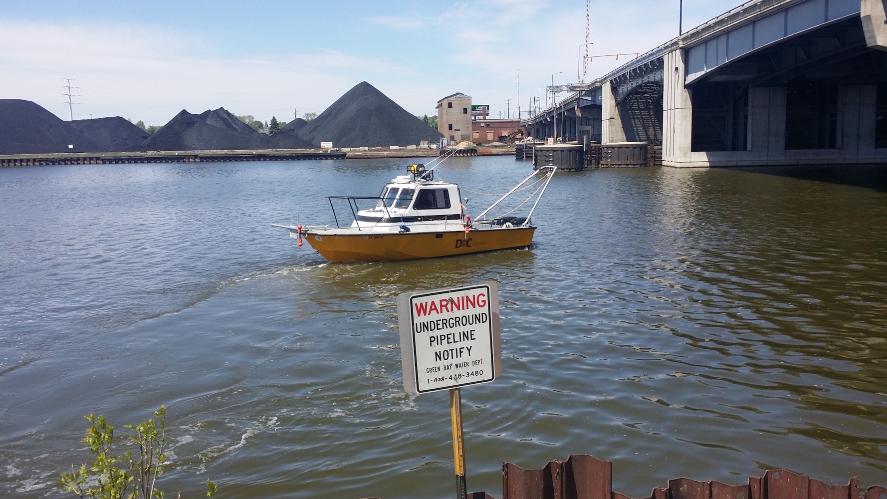
DoC Mapping performed a depth of cover analysis last month on a large section of the Lower Fox River in Green Bay, WI. Seventeen (17 ) utilities crossing under the…
Depth of Cover Analysis in Elizabeth River, New Jersey
May 1, 2015
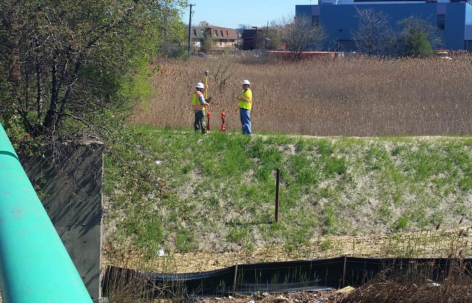
DoC Mapping completed a depth of cover analysis on 2 electrical conduits from levee to waterline on each bank of the Elizabeth River in New Jersey. DoC Mapping utilized their…
Depth of Cover Analysis, North Carolina Pipelines
March 25, 2015
DoC Mapping performed a depth of cover analysis on multiple pipelines where they cross 3 different rivers in North Carolina. Due to shallower rivers with many obstructions, DoC Mapping utilized…
Depth of Cover Analysis in Trenton Channel, Michigan
October 23, 2014
DoC Mapping performed a depth of cover analysis for a section of the Trenton Channel near Detroit. Numerous lines were reported on in an area where physical shore access to…
Depth of Cover, Topographic & Bathymetric Analysis on St. Clair River, Michigan
October 19, 2014
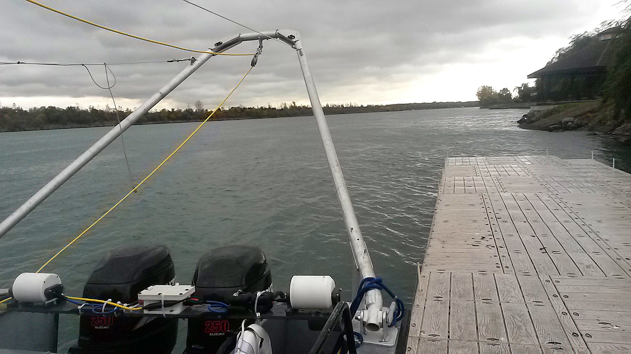
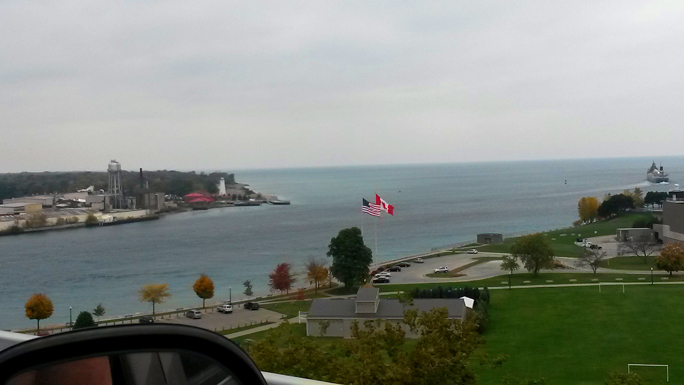
On the Michigan / Canadian border, DoC Mapping completed a full-range topographic, bathymetric and depth of cover analysis on lines that cross the St. Clair River near Marysville, MI. Two…
Depth of Cover Analysis for Pipeline Crossings, New York
September 25, 2014
DoC Mapping completed a depth of cover analysis on four pipeline river crossing sites in Upstate New York.
“PHMSA Reports to Congress on Hazardous Liquid Incidents at Water Crossings” (PipelineLaw)
January 3, 2013
“PHMSA released its report to Congress regarding liquid pipeline incidents at certain inland water crossings, finding that 16 of 20 release incidents occurring since 1991 in pipeline water crossings greater…