Comprehensive Solutions: Land, Water and Air
Innovating Surveys – As DoC Mapping evolves and pushes the mold to produce and illustrate higher quality data for every site surveyed, we’ve tasked ourselves with expanding our arsenal…

Pre-Dredging Depth of Cover Analyses, Michigan
DoC Mapping performed depth of cover analyses for 12 line crossings near Detroit, Michigan. DoC Mapping utilized multiple sensor packages for this project including electromagnetic locating sensors, a multibeam sonar,…

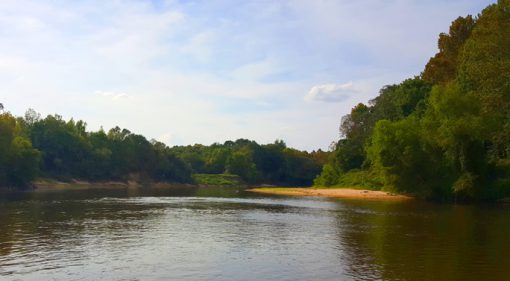
Depth of Cover Analysis in Pearl River, Mississippi
DoC Mapping performed a depth of cover analysis for 2 lines crossing the Pearl River in Mississippi. DoC Mapping utilized a flexible Shallow Water Sensor Suite for this project.

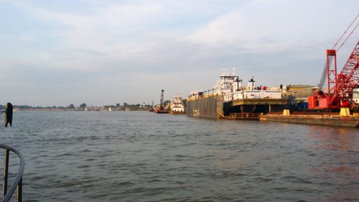
Depth of Cover Analyses, Mississippi & Missouri Rivers
DoC Mapping performed two depth of cover analyses — one crossing the Mississippi River near St. Louis and another crossing the Missouri River near St. Joseph.

Depth of Cover Analysis in Ontario, Canada
DoC Mapping performed a depth of cover analysis for 18 different crossing sites spanning the Canadian province of Ontario. DoC Mapping utilized a flexible Shallow Water Sensor Suite for this…
Archives
- March 2023 (1)
- April 2021 (1)
- November 2015 (1)
- September 2015 (2)
- August 2015 (1)
- July 2015 (1)
- June 2015 (1)
- May 2015 (2)
- April 2015 (1)
- March 2015 (1)
- January 2015 (4)
- October 2014 (2)
- September 2014 (2)
- January 2014 (1)
- January 2013 (1)
- December 2012 (1)
- July 2011 (1)

